An assumption of many Heartlanders of the Book of Mormon is that Zarahemla is in the location mentioned in Doctrine and Covenants 125.
D&C 125:3 Let them build up a city unto my name upon the land opposite the city of Nauvoo, and let the name of Zarahemla be named upon it.
The Book of Mormon gives us an important verse regarding the locations of Antionum and Jershon. The verse is Alma 31:3
Alma 31:3 Now the Zoramites had gathered themselves together in a land which they called Antionum, which was east of the land of Zarahemla, which lay nearly bordering upon the seashore, which was south of the land of Jershon, which also bordered upon the wilderness south, which wilderness was full of the Lamanites.
With this description, we have four requirements and one additional descriptions..
Requirement 1. Antionum is east of Zarahemla.
Requirement 2. Antionum is near a sea shore.
Requirement 3. Jershon is north of Antionum.
Requirement 4. Antionum is bordered upon the wilderness south. I shall assume this means that the wilderness is south of the city. It could also be read that Jershon borders upon the wilderness to its south. I am going with Antionum that is bordered upon the wilderness south.
Additional Description. Lamanites are abundant in the wilderness south of the city.
From there, we must look to geography and archeology.
The location we are looking at to find Antionum is in the area of Havana, Illinois. Havana is on the east side of the Illinois River. In Havana, there is a park known as Rockwell Mound. The mound is conical in shape. It was built by the Hopewell which are presumed to be the Nephites. For the source that the mound was built by the Hopewell, see the link below to Rockwell Mound Park. The site is considered a prime spot for giving public addresses. It was even used in modern times as on August 13, 1858, Stephen A. Douglas gave a campaign speech there and one day later, Abraham Lincoln used that location to give an address. Please refer to the following website at https://havanaparkdistrict.org/facilities/rockwell-mound-park/.
On the west side of the Illinois River is Dickson Mounds. Dickson Mounds is prominent enough from an archeological standpoint that the state has erected a large museum with numerous artifacts on display.
http://www.illinoisstatemuseum.org/content/welcome-dickson-mounds
Dickson mounds is 86.7 miles by road from Zarahemla (Montrose, IA).
Rockwell Mound is 89.7 miles by road from Zarahemla (Montrose, IA).

Fitting Requirement 1, we have a land rich in archeology targeting the Hopewell (presumed Nephites) approximately 90 miles east of Zarahemla.
Requirement 2 states that Antionum must be near a sea shore.

The seashore exhibited on this modern map from Google in the proposed area of Antionum seems missing. Thompson’s Lake and Flag Lake are missing from the map as they were drained during the past century to make room for farmland.

With the addition of Thompson’s Lake and Flag Lake, I personally am satisfied that we have a seashore meeting the requirements of Requirement 2. I would also like to point out that the Illinois River has numerous lakes adjacent to the river. From the map, it nearly seems that it is somewhat of a river / lake.
The above map was taken from a publication called “The Thompson Lake/Emiquon Story” from the State of Illinois. It is available here. https://www.ideals.illinois.edu/bitstream/handle/2142/111695/TheThompsonLakeEmiquonstorythebiologydrainageandrestorationofanIllinoisRiverbottomlandlake25.pdf?sequence=2&isAllowed=y
Requirement 3 tells us that Jershon is north of Antionum. “Additional Description” tells us that Antionum borders on the wilderness which is south of their land. As Antionum was considered the primary protector for Jershon, I would logically place Jershon just north of Antionum. The People of Ammon did not stay there long. As Antionum went through its stage of rejecting Christ as their Savior, choosing a false god and eventually becoming Lamanites, the People of Ammon were forced to leave Jershon and move to Melek, much closer to Zarahemla. Jershon was then taken over by Captain Moroni who would have begun the process of building up fortifications to prevent the Lamanites from further penetrating the land. Requirement 3 will help us as we draw in the proposed borders of the lands.
I shall proceed with my sketch that Antionum extends east of the Illinois River in what is now Havana and extends west across the river. The land of Jershon would have extended from what is now Dickson Mounds State Museum all the way to the vicinity of Duncan Mills.

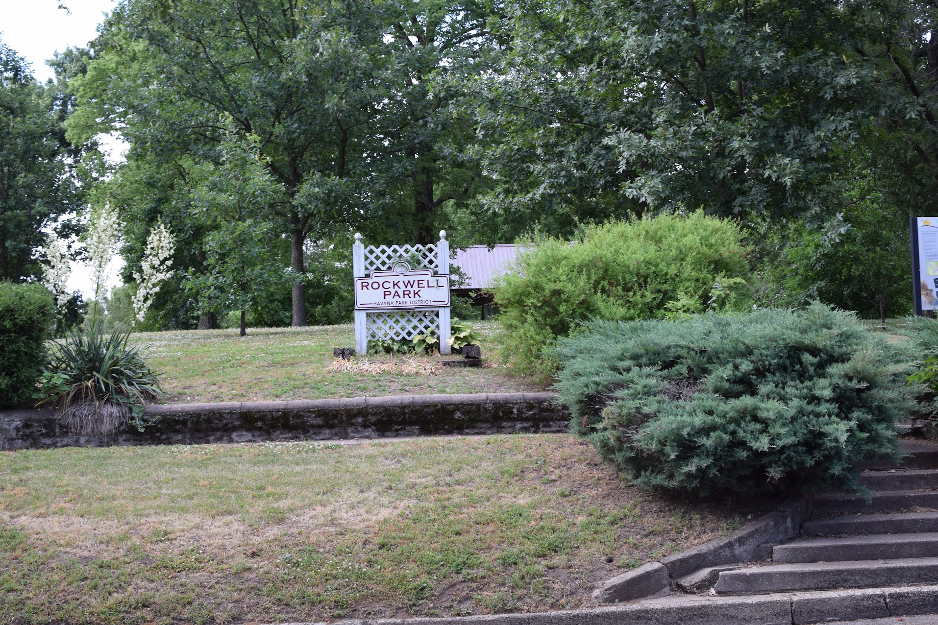
Thoughts on the Rameumptom. Is it possible that the mound used for public speaking by Stephen A Douglass and Abraham Lincoln at Rockwell Mound Park is what is left of the Rameumptom? It certainly does strike as a possibility.
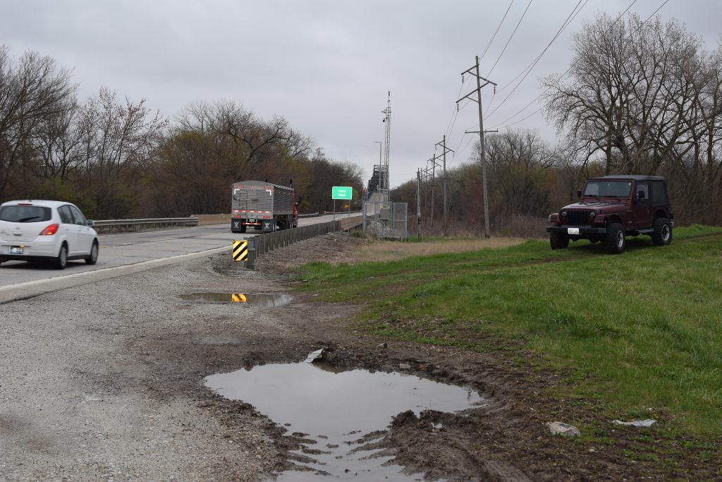
Defensive Berms along the Illinois River
On the west side of the small city is the Illinois River. The west side of the river has and incredible berm which seems to go on for miles. What I do not know for certain is if the berm is modern or ancient.
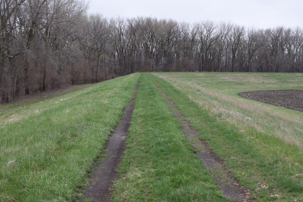
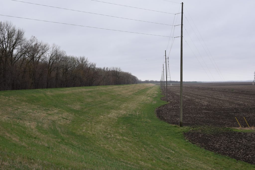
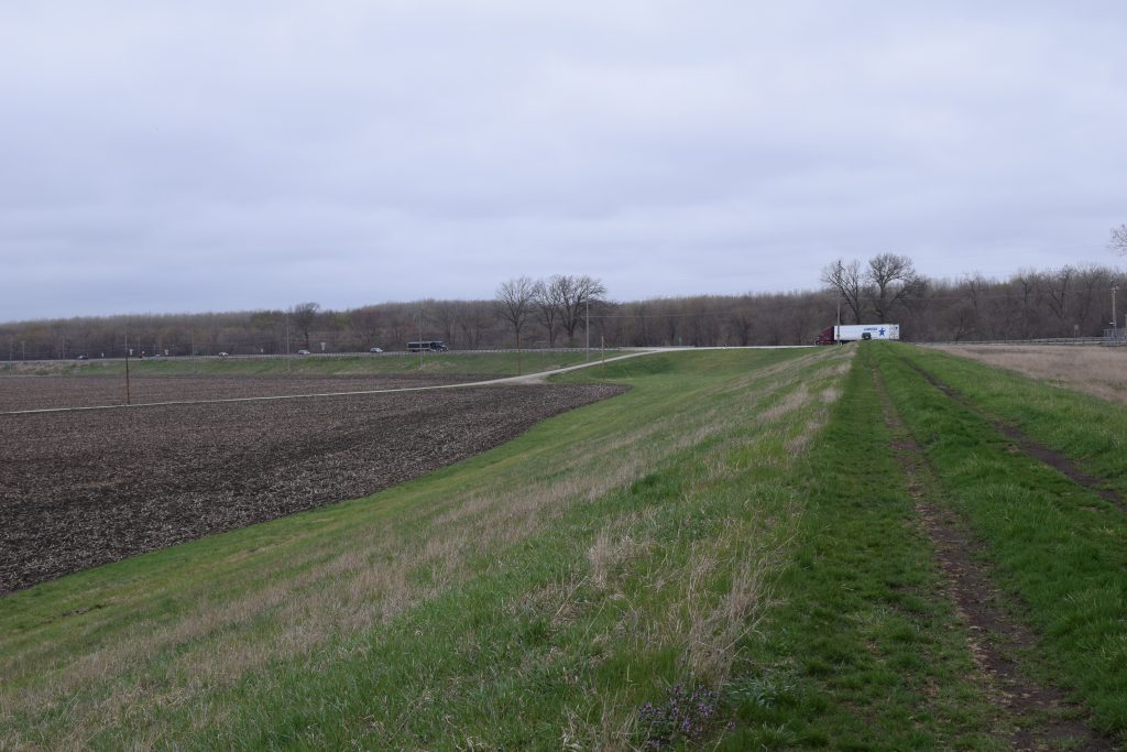
What is Likely part of Jershon

In my exploratory trip there in 2017, I took some fascinating pictures of a particular farm in the area near Duncan Mills. This included a farm with eight foot berms extending over large distances. In fact, as I drove through the area towards Havana, I was rather amazed at the vast extent of berms that were all over the farmlands of that area.
I want to thank Cal Christensen for helping me find these areas and sharing his thoughts on these lands with me.


